Boris Dorschel is the project lead as head of the bathymetry working group in the geophysics department at AWI. Since 2012, he credits his time to the geo-morphology of the seafloor in high latitudes with special emphasis on the reconstruction of ice sheet histories and habitat mapping. As part of his activities, he collects multibeam echosounder data from around Antarctica and the Arctic. With his expertise and passion for running highly collaborative projects at a global level, he is keen to lead bathymetric mapping expeditions and expand the impact for the IBCSO.
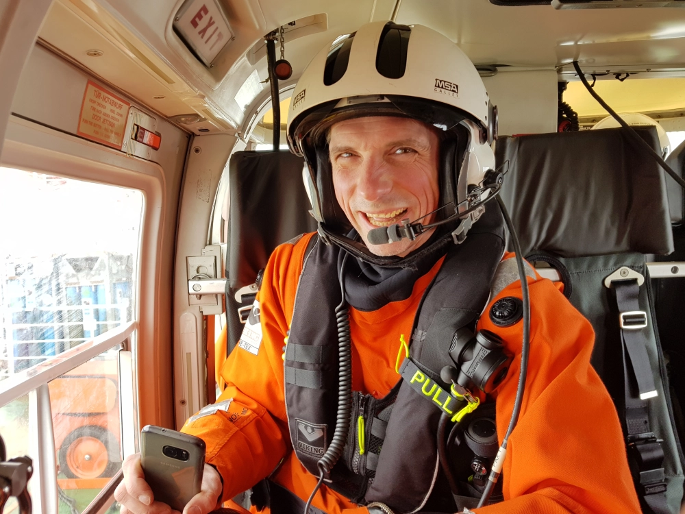
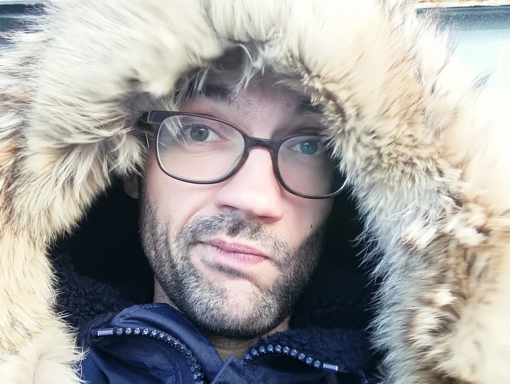
Sacha Viquerat is our chief data engineer for the project. With a background in biological sciences, mainly marine mammals, and scientific programming and statistics, he joined the team primarily to re-implement the data processing pipeline and scale the existing workflow onto AWI’s high performance infrastructure. He made his first trip to Antarctica in 2014 and has since participated and contributed in various national and international projects. His work in Seabed 2030 involves heavy usage of the Python programming language for parallel computation and geographic libraries in a UNIX environment and coined our SEAHORSE workflow.
Patrick Schwarzbach, semi-professional photographer, web designer and private teacher, supports Seabed 2030 by increasing outreach on various platforms for the Southern Ocean Regional Center. Furthermore, he helps to enhance data analysis as a multidisciplinary trained scientist. He first came in touch with marine sciences working from 2018 to 2020 at the German Oceanographic Museum in Stralsund and looks forward to his first Antarctic expedition.
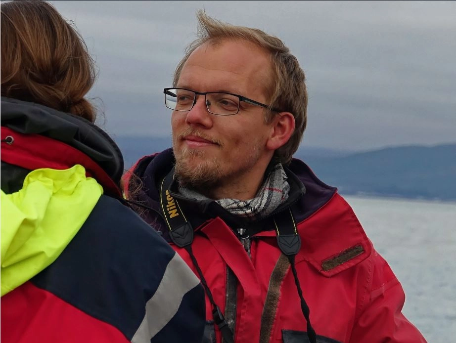
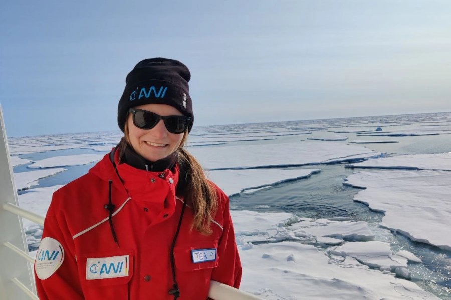
Tea Isler joined our team as a PhD student focusing on 3D visualization of hydrothermal vents in polar regions using photogrammetric techniques. The optical reconstructions will be based on microbathymetric data collected by towed camera systems and remotely operated vehicles.
Tea has a background in Mathematics and Statistics, but it was during her master in Geospatial Data Analysis at the UCD (Ireland) that she got to experience life at sea and discovered the world of seabed mapping. What brought her to AWI is her interest in the close collaboration with the international project Seabed2030 and the pursuit of multibeam data in remote and still uncharted areas of the world.
Natalie Cornish is a multi-disciplinary scientist that liaises between IBSCO and the hydrographic community. After mapping terrestrial environments with satellite imagery and GIS for the better half of a decade, she shifted her focus to hydrographic surveying and bathymetric applications. Within IBSCO and the Seabed 2030 Regional Centre Southern Ocean, you will find her processing data to expand our coverage of the Southern Ocean, at sea collecting new multibeam data or meeting stakeholders abroad to promote Seabed 2030’s vision of a fully mapped global ocean.
Fynn Warnke has participated in several research cruises worldwide (Antarctica, Baffin Sea, southern Indian Ocean) and two industry cruises (North Sea, Baltic Sea). He joined the team as a talented and passionate data engineer bringing expertise in bathymetric mapping and innovation to working with big data. He is highly trained in scientific computing, namely Python, Matlab, and motivated to implement new techniques and approaches to advance the project.
Laura Höppner supports our team as a student assistant. She is mainly involved in the IBCSO database quality assurance process. She also joins the bathymetry group on research cruises to the Arctic and Antarctic.
She is currently completing her Master’s degree in geodesy and geoinformatics at the Technical University of Munich. For her master’s thesis, she will be working on modelling bathymetry under the Antarctic ice shelf using airborne gravimetric data.
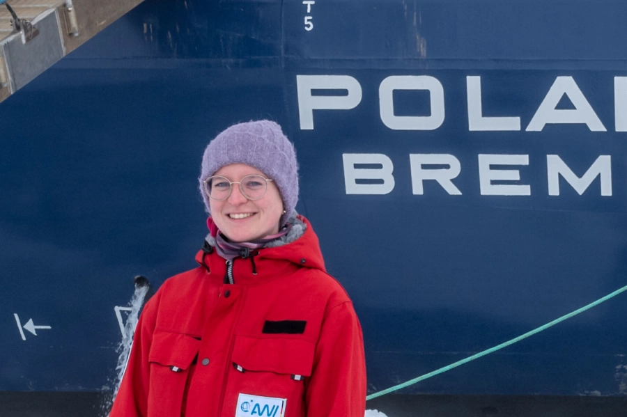
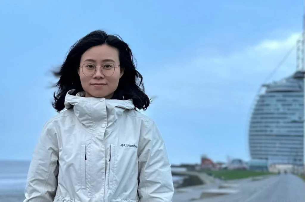
Miao Fan, joined our team as a visiting scholar, focusing on high-resolution multi-dimensional habitat mapping in Antarctic deep sea. She has a background in cartography and Geographic Information Systems (GIS) and is responsible for several national geomorphology projects. As a bathymetry data manager at the National Marine Data and Information Service (NMDIS) of China, as well as a member of GEBCO SCRUM, she believes that it is significant to join IBCSO to help chart the seabed. Her work will involve harmonizing IBCSO data and researching on her PHD thesis at the Tianjin University on revealing the relationships between geomorphology and benthic fauna in Antarctic.
Simon Dreutter is the data manager of the bathymetry working group with, providing data and insight into the bathymetry archive. He has several years of ocean-going experience and a main research interest in high-resolution multisensor habitat mapping in deep sea environments. He oversaw the technical integration of the acoustical systems into the OFOBS platform and regularly trains students for bathymetry acquisition. As a skilled cartographer, passionate programmer and inspiring educator, he brings a diverse perspective and high quality to the project.
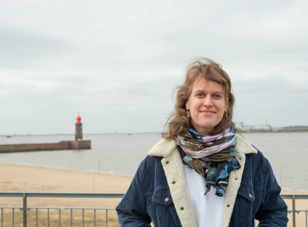
Yvonne Schulze Tenberge supports the IBCSO team with her knowledge of PostgreSQL databases and programming skills. She has a background in environmental engineering and fluvial geomorphology. Since 2020, she works as a data engineer for the AWI Bathymetry group in the project mareHub with focus on data visualization.
